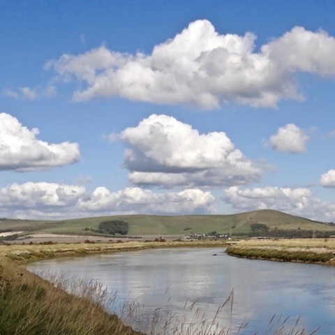
The River Ouse – The Egrets way Riverside Multi user route
A Brief History of the Egrets Way Project
The people who initiated the Egrets Way Project in 2011 were not the first group of local residents to join forces to identify a safe walking and cycling route which would connect Newhaven, Lewes and the villages in between. In 2004, an earlier attempt by members of the POLO (Parishes of the Lower Ouse) group to create a ‘Greenway’ running alongside the C7 Lewes to Newhaven Road had foundered when no achievable route could be identified.
However, in Autumn, 2011, three significant events occurred which encouraged members of those same communities to try again:
• the Environment Agency announced its intention to maintain the flood defences of the river in the Lower Ouse valley,
• the Government announced substantial funding for sustainable transport plans, and
• the South Downs National Park (SDNP), created in 2010, came into operation.
Following public meetings, held for the purpose of measuring support for the project, a constitution was adopted, a Steering Committee was created, officers were elected and the project known as the Ouse Valley Cycle Network (OVCN) came into being. A great deal of work then began to identify a route, locate relevant landowners and meet with representatives of organisations with shared interests as well as engaging with the public through parish council meetings and attendance at local events. By the end of the year, the group had joined forces with a working party from the Kingston Road and Cranedown Residents Association and the Kingston Action Group which had long been exploring the possibility of creating an off road cycleway connecting Kingston and Lewes. Sustrans was then commissioned to identify a riverside route running from Newhaven to Lewes with branches extending to Kingston, Rodmell, Southease and Piddinghoe. What followed was a process which has been repeated many times over with the project taking shape as opportunities arose and funding was secured.
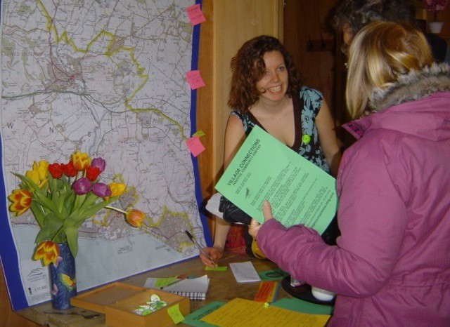
2011 First Ouse valley Cycle Network (Egrets Way) community meeting at Spring Barn Farm
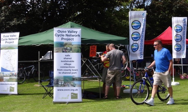
2012/2013 Cycle Seahaven fundraising event for the EW Ouse valley Cycle Network (EW) Stand shared with Cycle Seahaven
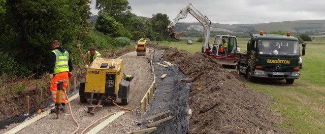
In March, 2012 the initial route to be constructed was identified (Kingston to Lewes), the landowners gave their consent for access to their land, operating funds were raised from local sources, planning permission was sought and granted following public consultations, and the funding for Phase 1 of the newly named Egrets Way network of paths was raised from local and central government sources. Sustrans was appointed to manage the project while Steering Committee members engaged in an extensive programme of community meetings and promotional activities. Phase 1 was officially opened in September, 2012.
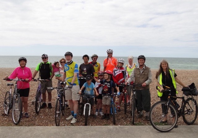
2013/4 Work on the First Egrets Way section: the Kingston Link
In 2013, the project Steering Committee decided to apply for charitable status and so adopted a new constitution and became a registered charity in January, 2014. This enabled us to apply for major funding which was only available to charitable organisations.
After 3 more phases of construction, resulting in a network comprising 5 miles of path at a cost of £2M, we have now reached Phase 5 (Newhaven to Piddinghoe). Construction has been delayed for nearly a year by the impact of COVID-19 but should begin later this year. We are now working toward the implementation of Phase 6 (Rodmell to Lewes), the last riverside section, for which landowners’ consent and capital funding of over £900k must be obtained.
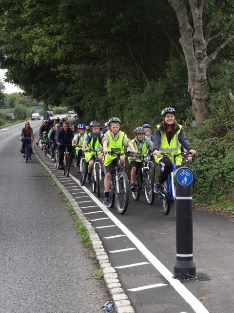
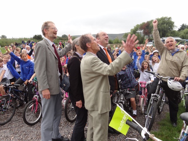
2014 Sustrans organised School cycle ride to Kingston Link opening event attended by minister of Transport Norman Baker and Sustrans
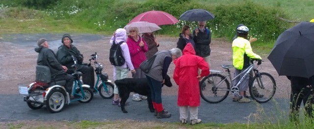
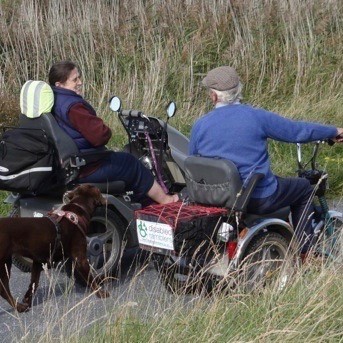
2014 Southease to Rodmell section Opening event and Disabled Ramblers group ride
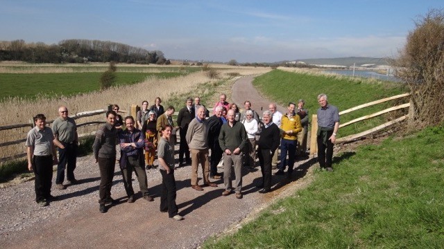
2014 SDNPA visitors to the new Southease to Rodmell EW link
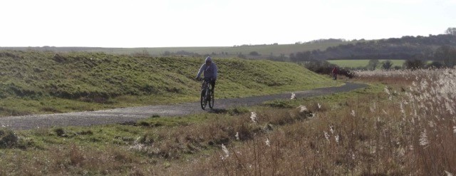
2015 Cyclist enjoying the new Southease to Rodmell section alongside the river bank
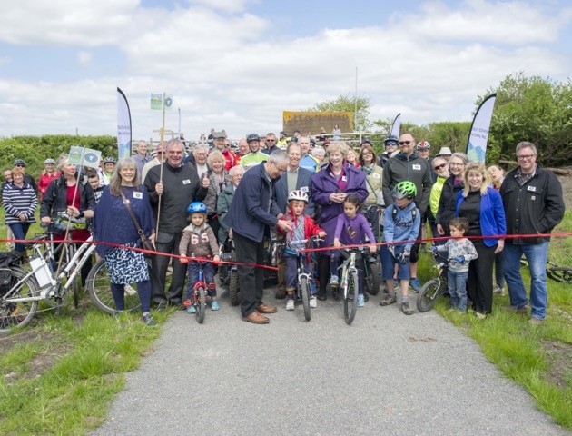
2016 Southease to Piddinghoe section Opening event and the new section being enjoyed by cyclist
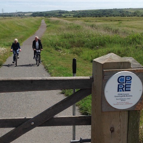
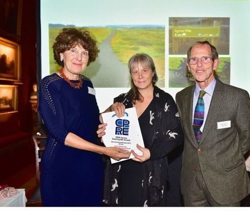
2017 CPRE Award for the Egrets Way
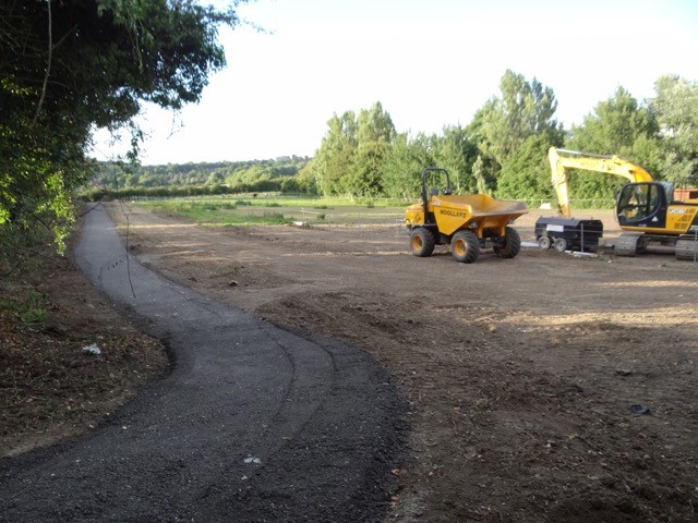
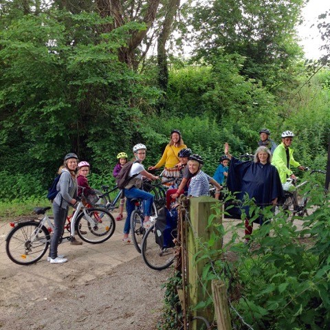
2018 Work starts on the Swanborough Link to the Egrets Way and Cycle Lewes/Egrets Way cycle ride
2019 Railway Land Open Day with our new gazebo and new EW map for the LDC Artwave event
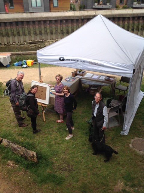
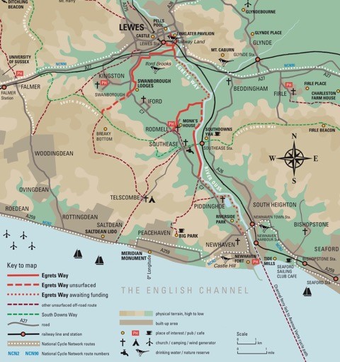
2019 Egrets Way Artwave Art Trail at ten Ouse valley venues including Iford YHA encouraging lots of walkers and cyclists to use the Egrets way
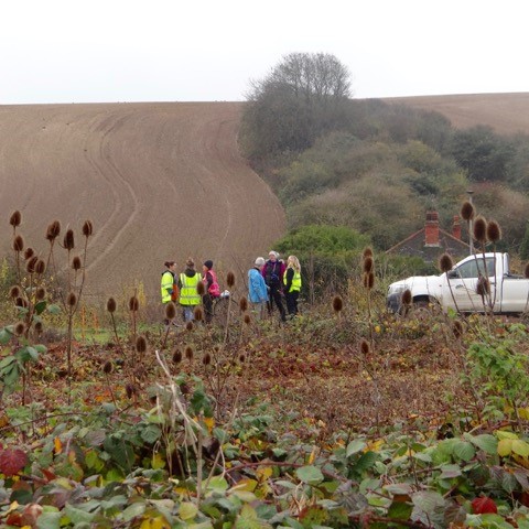
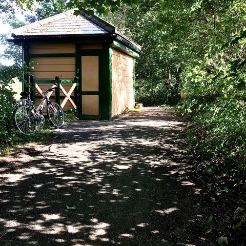
2020 Railway Land works under the bridge are completed and well received by local dog walkers and the Signal Box is renovated and reopened. Opening event postponed due to Covid
2020 has proven to be a trying year for most individuals and organisations in the UK and the Egrets Way Project was no exception. However, we have recently organised a group of Egrets Way volunteers who are responsible for monitoring the condition of the various pathways and for providing routine maintenance as required. There will be more volunteer opportunities in the future and anyone who is interested in becoming a member of this team should contact Rick Ross at: rickross.rr22@gmail.com.
What we have seen during 2020 is a significant increase in the number of people using the completed sections of path. For example, the section running from Southease Bridge to the C7 north of Piddinghoe, which opened in 2016 and has been continuously monitored, has seen average monthly usage gradually rise from 600 users in 2016 to 2400 in 2020, undoubtedly the result of many people deciding to take advantage of the sustainable access to the Lower Ouse Valley which the Egrets Way was always aimed to provide.
If you are interested in learning in more detail about the Egrets Way Project, please look at our website: www.egretsway.org.uk where you will find copies of all of our annual reports and where Egrets Way news and notices of events are regularly posted.
id.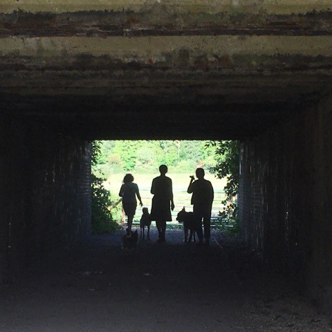
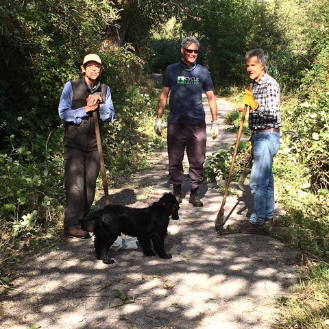
2020 New EW Volunteers group clears the Ham Lane Lewes section
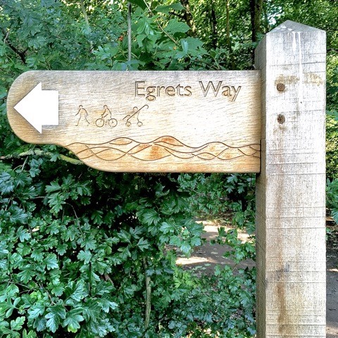
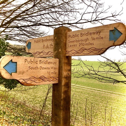
2021 Lots of new SDNPA signs on the Swanborough/EW/ South Downs Way link plans for 2021 work on the Piddinghoe to Riverside Park Newhaven are in progress…
You can follow more of the story by visiting :-


